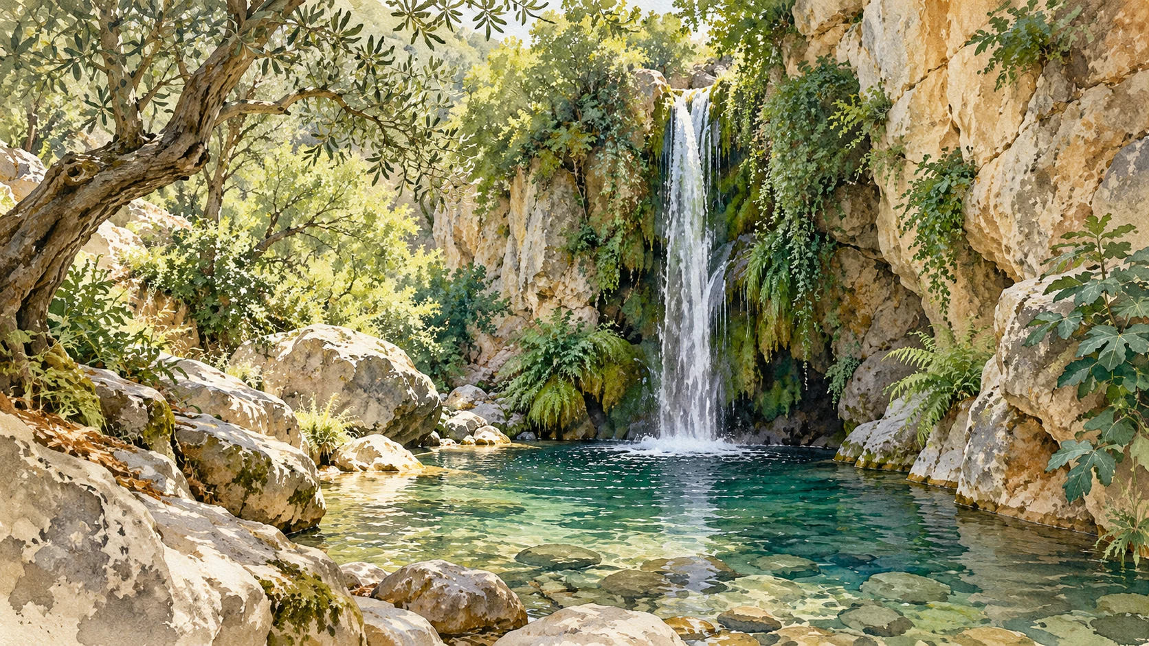
Richtis, Zakros, Kourtaliotiko and Imbros: water, rock and history, with attention to terrain, effort and return.
AI-Illustration · artistic impression, no exact representation of landscape, history or species.
01 · CRETE
Directis · the green East Crete
Φαράγγι του Ρίχτη
At Exo Mouliana in the Sitia region there is a gorge where green, water and shade show another side of East Crete. The waterfall is the most famous image, but the experience also comes along: tree roots, rocks and curves in a confined space. Look at the relationship between vegetation and the watercourse.
The municipal information describes a marked approach. Online distances use different beginnings and end points. A walk from the village, an intermediate access or the coast is always a different plan. So first determine where you start and how to get back.
The effort is not just a difference in altitude. Wet stones, uneven terrain and possible water passages can require attention. This is a terrain walk with local difficult passages. After rain the situation may differ from a summer photo.
Book a large part of the day, ask the administrator for the current route and choose the waterfall as a possible turning point. Add the coast only if the entire way back applies. A pool is not automatically a suitable swimming spot. Also watching and listening make the walk worthwhile.
The gorge of Zakros connects the surroundings of Ano Zakros with Kato Zakros on the east coast. The name Death Valley refers to Minoan graves in the cliffs. Thus, the trek connects geology, habitation and the place that former communities gave to their dead.
View openings from the allowed route. It is not an invitation to climb up; archaeological remains can be vulnerable. The whole valley raises questions: where is passage possible, which wall protects a space and how does the landscape open up towards the sea?
The regional description connects the gorge to the E4 network. That does not mean anything about the difficulty of each branch. Choose a confirmed starting point and control transport back on a one-way trip. A line on the map does not make a route a tour.
Kato Zakros offers a logical break. Beach and palace are separate choices; decide after rest if a next visit fits nicely. The strongest story is the transition from the valley to the open sea, with long human history in the background.
The Kourtaliotis flows through this landscape in Rethymno towards Preveli. High cliffs and springs make the gorge part of a larger water system. The estuary, river and upperland belong together, but are not a continuous visitor route.
Distinctive views from an allowed place, a managed descent and a trip through the water. These are various activities with different effort and preparation. A waterfall photo does not tell how someone got there.
The regional information for 2026 describes controlled access and organised management with OFYPEKA and the municipality of Agios Vasileios. Check current access and follow the designated route. Older indications about random descent sites may be outdated.
Have a river excursion assessed and organized separately by a competent local guide. This guide does not instruct you to go through the water. If you want to experience the landscape, you can choose a suitable place to visit and then go to a meal in the area.
Imbros is located in the mountain land of Sfakia, in Chania. The narrower passages and cliffs give the walk a different scale than a long Samaria crossing. A route through a gorge also tells how connections in mountain land are determined by the terrain.
Shorter doesn't automatically mean easier. Loose stones, long descent and the return journey count together. A one-way trip requires a transport plan in advance; the same path decline changes distance and effort.
Ask for the current entrance, exit and path condition. Use the name of the gorge as the start of the preparation, not as directions. Our Lefka Ori guide gives the greater connection with Askifou and other gorges.
Choose Imbros as the main destination, with a meal afterwards. Add a boat ride to Loutro only if you really connect hike, transport and last boat. Two beautiful activities become less pleasant when the second one lets you rush through the first.
Loose stones, stairs, water, heat and exposed passages can make a short route demanding. Ask for the subsurface and return. A time from a brochure is an orientation for the described route, not a personal end time.
Land walk means an uneven natural subsurface here. In a river excursion water is part of the activity and a separate assessment is needed. When you visit the view you look at the landscape from a permitted place. These descriptions are not an official difficulty classification.
Choose a wide range of options, with breaks and a reverse choice. Ask for the complete route, including parking, stairs and last access if you have limited mobility. Concrete features say more than the word easy.
06 · CRETE
A clear plan for back and forth
Check the weather around the area, including where water can come from. Follow closures and messages from administrators. Bring water, appropriate shoes and a loaded phone and store necessary information in advance.
Place starting point, end point and transport side by side. A digital map can show a short line where the actual passage is not suitable. Our map serves for orientation and does not contain any measured walking trails.
For your travel book: describe three traces of water, for example a smooth stone, a deposit and vegetation at different heights. Look from the allowed path; you don't have to bring anything to remember the landscape.
Continue reading & combine
Compare the type of visit
Cloves
Character
For your plan.
Direction
Green and waterfall
Unsafe, possible wet terrain; select turning point
The map shows the island. Open a place separately to view the location; these are search links, not controlled walking or car routes. External maps ask internet.
Editorial edition · 21 October 2026. Visit proposals and exercises are their own effects. Check current access, transport and local conditions with the official administrator.