CONNECT · DISCOVER · MAKE IT YOURS
Water on a dry island
From rain in the mountains to a fountain in the square: springs, storage and irrigation connect landscape with daily life.
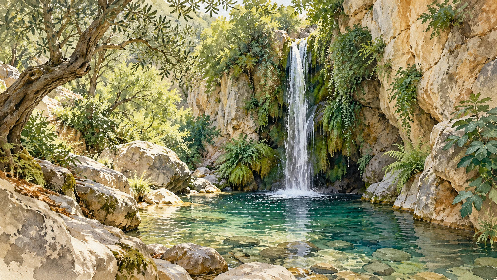
Where the water comes from
Look beyond the visible coast by water on Crete. Height, rain, soil and rock determine where water sinks and where the weather appears. A dry surface does not mean that there is no underground current. Conversely, a green site does not guarantee an unlimited supply.
Use our mountain, gorge and cave guides to view differences in the landscape. A map with sources is not automatically a map with drinking water. You have to determine the origin, quality and administrator separately.
Underground Crete · Lefka OriMorosini: a fountain begins outside the city
The Morosini fountain in Heraklion was built in 1628. A supply system brought spring water from the area of Archanes, near Karydaki, to the city. The visible lions are thus the end of a story that begins far further inland.
Ask at the monument three things: where did the water come from, how was it transported and who could use it? The decoration tells about presentation and management; the pipes tell about technology. Both belong to the same urban system.
Municipality of Heraklion · Morosini fountain →Priuli: What happens when a supply falls out?
During the siege the supply to the Morosini fountain was interrupted. The municipal history of the Priuli fountain describes another water source and a fountain built around 1666. Water supply was also a strategic issue.
Compare such urban problems with a remote settlement. Distance, altitude and maintenance not only determine what is technically possible, but also how much water costs every day. Avoid a simple contradiction between smart old solutions and modern waste: each system requires maintenance and management.
Municipality of Heraklion · Priuli fountain →Cistern: Making a stock of a moment
A cistern stores collected or supplied water for later. Think of an old basin of four parts: supply, storage space, protection of the stock and a way to use the water. An empty space does not in itself tell what water used to be in it.
Look only in accessible parts of a monument. A lid, grate or placed access also protects a facility that you can hardly judge from above. Create a sketch from the visitor route and describe what you actually see.
The plateau: water as a shared space
On the Lasithi Plateau, water connects to agriculture, drainage and the well-known windmills. The mills are part of a working agricultural landscape; they are more than recognizable white sails. The existing plateau guide deals with the relationship between soil, season and cultivation.
An irrigation system makes different plots a interconnected area. Look at locks, pipes and height differences without operating installations or entering fields. Ask a producer what drought means for their own cultivation.
The Lasithi Plateau →You visit along the water
Make a short walk in one place: a fountain, a drain and a place where water is used. Write down per point of supply, use and drain. You don't need to know the whole system to formulate a good question.
Use water during your stay: report a leaking tap, avoid unnecessary running and follow local instructions. Do not make a general statement about tap water for the whole island based on one source or experience. The administrator of your stay can explain the local situation.
Thirty years of climate in Crete →Sources & edition
Editorial edition · 21 October 2026. Commands, menu guides and selection aids are their own effects. For practical data, please refer to the mentioned administrators; check current access and facilities before your visit.